MAP ATLASES IMAGES
& MAPPING LINKS
Alphabetical by Subject
ANTHOLOGICAL
ODDENS' Collection
Lib Congress Colleciton'
National Geographi Col'n
History Central
Historic Mapworks
ATLASES ONLINE
AstroAtlasQuerry
Atlas Can -maps
Euro-Atlases
ASTRONOMY/EARTH
ASTRONOMY/SPACE
See Calculators below
Sky Star Map
Solar System Live
Space Station
Orbiter Camera
Astronomy
NASA
Cosmic Museum
Hubble Telescope
Track The Shuttle
NIGHT
Sky
Kennedy Space Center
Solar System Scale
Build Solar System
This Month' s Sky
The Aurora
Your
Sky
Space Weather
Space StatioVisibility
StarGazer
Planetary Facts
StarGazer-Links
Gravity-Blackholes
Calendar Converter
BLANK MAPS
See DIY MAPS below
See World Atlas individual
CALCULATORS
(See)
Calculator-Page
CALENDARS
(See)
Calendar-Page
World Calendar History
DIY Maps
DIY State Maps
World Atlas US States
LAT & LONGITUDE
Lat&Long-Learning
Lat&Longtitude
Lat&Long&Altititude
GeoLat&Long
Geo PCode Lat/Long
Lat&Long-GeoCalc'n
Lat&Long-LeAstrologique
Distance Calc
Geography
Canada-AB-fallingrain
Lat&Long-Dist Calc'n
Lat&Long-City Locator
Lat&Long-AstroMedia
Lat-deg.min.sec- Calc
World Atlas Lat Image
Lat/Long-AddressCalc
Area Codes Calc
Lat/Long-Areial Photos
Lat/Long-DegMinSec
TIME Services/Zones
LETHBRIDGE
MAPS
Leth-Maps
Bus Routes
Lethbridge-Streets
WestminsterVillage
Leth-MultiMap
Leth-SunMoonSeason
Leth-WorldWeb
Leth-Yahoo
Leth-Communities
Leth-AB-fallingrain
Lethbridge-Satellite
Leth-Satellite
HISTORY
(See)
HISTORY PAGE
GAZETTEERS
See Maps Gazetteers
Best of History Maps
GEOGRAPHY
World Flags
GeoNames-Can
Geo Discover CA
World Populations
Geo-names-US
GEOGRAPHY-MAPS
GeographyMaps&Info
Maps-Can- Yahoo
Maps
Maps1-Can
GENmaps
GENUKI Maps Britain
Google Maps UK
Old London Maps
Old Maps-UK
GEOLOGY
Geology Resources
Geology USGS
Minerals USGS
Global Gazetter
GPS(GlobalPosition)
Global Position
Earth Live Views
Graphics
Free Genealogy Art
FreeHeraldicClipArt
Civil War ClipArt
HISTORICAL MAPS
Computer Timeline
History Channel
ON This Day
Prime Ministers
US Presidents
World Historic Online
European Historic Maps
European Historic Maps2
US County Lines
Constitution Etc
US Hist, Outline Maps
MapsofPast
WARS
World War 1
FirstWorld War
USMA Rev War
US Revolutionary War
USMA Civil War
Civil War Timeline
Civil War Gilmer
Piper Pub Maps
Ancestry Maps
Historical Maps U of Ill.
LONDON Ancestors
Map & Plan Collection Online
NYPL 1000 N.A. Maps
NYPL State Co City Maps
MAP Generator
DIYStatemapGenerate
Basic Nat Geo Maps
MAPS & GAZETTERS
Ancestry Maps
Global Gazetter
Google Maps
MapQuest
WORLD
GeographyMaps&Info
CANADA MAPS
Canada Gazette
Can -Atlas-maps
Can-Maps1
Can- Maps-Yahoo
British Isles map-Link
Can-FrontenacCounty
Can-Ont Counties-1880
RailroadMaps
US MAPS
US-Hist. Counties-1
US-Historic Counties-2
USLandPatents
US Res GenWeb.
Google USA States
US-Town Finder
World Atlas US States
USGenLandSearch
US Geo-names
New York Counties
Pennsylvania Counties
Virginia Counties
Wisconsin Counties
Minnesota Counties
UK MAPS
National Library Scotland- UK
New Popular Edition Maps- UK
Your Maps Online- UK
Cheshire Co.TitheMaps
Parish Poverty Maps -UK
Private Maps - UK
Old London Maps
Old Maps-UK
UK-Maps UoTexas
Map Seeker UK
Greenwoods Maps- UK
Brit- Gazetteer
EUROPEAN
Euro-Atlases
GERMANY
German Ancient Maps
German Basemap
German Dialect Maps
German Empire 1789
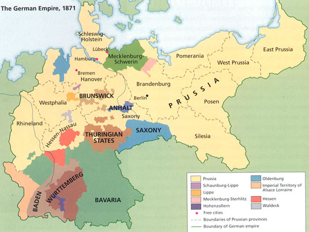
German Empire 1871--A
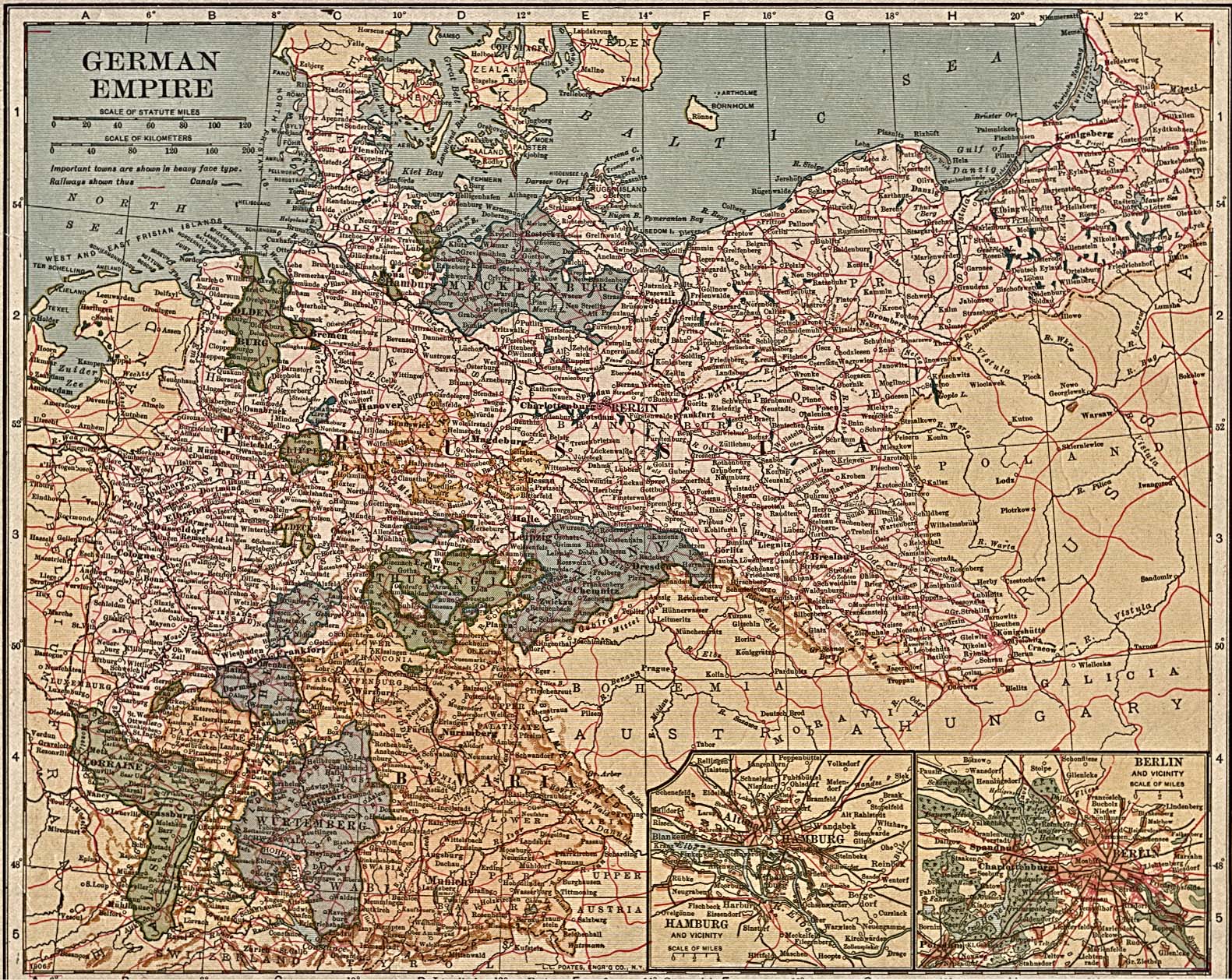
German Empire 1871-B
German Empire 1917
German Gazetters
German Interactive Maps
German PreNationMaps
German Evangelical Maps
GermanMaps-List
German Empire Atlas
RELIGIOUS
BibleMaps.org
TRAVEL
NY-walkingtours
WEATHER
(See)
WEATHER PAGE
TIME ZONES
World Time Zones
World Time Zones 2
TIME Services/Zones
SATELLITE VIEWS
HeavensAbove
Earth Live Views
SPECIALTY MAPS
PANORAMIC MAPS
American Memory